
JEFFERSON CITY, MO – The Missouri Department of Natural Resources has released a new app to raise awareness of flooding and drought conditions across the state. Developed over a three-year period, the free Missouri Flood & Drought app uses data from MoDNR’s network of steamgages and soil-moisture sensors to display real-time conditions, as well as how forecasted weather may impact different regions. Now live and available to download through app stores, the app’s release is the first step of more upcoming efforts to grow Missouri’s resilience to flooding and drought. Userscan also visit its desktop version at web-mohic.hub.arcgis.com.
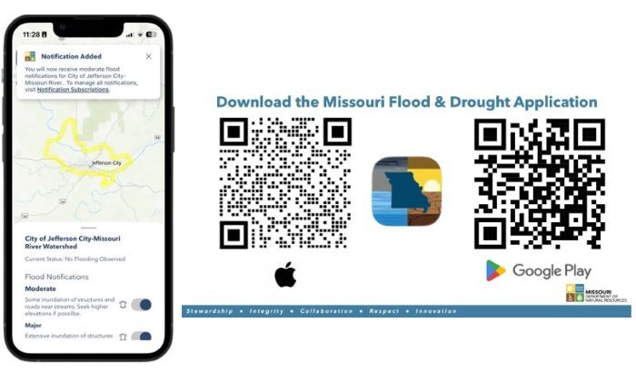
Users of the Missouri Hydrology Information Center’s new Missouri Flood & Drought app
can receive alerts about flooding in their area through signing up for notifications.
“We encourage everyone to download the Missouri Flood & Drought app and explore its features,” said Dru Buntin, MoDNR’s chief of water resources. “Through this app’s services and capabilities, users will be provided with vital information and notified of danger during critical situations.”
MoDNR created the Missouri Hydrology Information Center in response to the devastating 2019 flood. The unit’s mission is to provide accessible, user-friendly information to increase drought and flooding awareness.
“One of our big objectives is to make it easy for people to consume our streamgage and flooding data in the same way they would consume weather data,” said Zack Becker, MoDNR unit chief who oversaw the app’s creation. “Most of us wake up in the morning and we check the weather. Is it going to rain? How should I plan my day? Up to now, people haven’t been as aware of streamgage data, even though it may have an even larger impact on the rest of their day if they are traveling through a flash flood-prone area or use a low-water crossing. By setting up notifications for streams in your area, this app will alert you to vital flooding information so you can avoid a route that would potentially put you in danger.”
In collaboration with multiple partners, the MoHIC team continues to install a network of statewide streamgages to monitor water levels and stream velocity, as well as a network of soil-moisture sensors to monitor ground saturation. Data collected from these networks provide the information making the app’s monitoring and forecasting capabilities possible.
“Missouri is one of the first states to develop a platform like this,” Becker said. “Other states do have flood inundation mapping, soil-moisture monitoring and other networks, but Missouri is among the first to take all of that infrastructure and data and to distill it down into a mobile phone application for the public.”
You can download the app now at your preferred app store or visit web-mohic.hub.arcgis.com to access a desktop version.
MoHIC continues to make progress across Missouri with projects including adding more streamgages and soil moisture sensors, acquiring additional aerial landscape imagery and searching for new groundwater aquifers.
Visit dnr.mo.gov/water/hows-water/mo-hydrology-information-center-mohic to learn more about the Missouri Hydrology Information Center and to access the Missouri Flood & Drought” app. You can also read more about MoHIC at missouriresources.mo.gov/reinventing-resilience/.